Urbanization is growing rapidly across the world. In a vast and diverse country like India, decisions related to city expansion, transportation systems, housing, green spaces, waste management, and infrastructure directly affect the lives of millions of people. In such a scenario, transparent urban planning is not only a sign of administrative efficiency but also a bridge of trust between citizens and the government. Transparent urban planning forms the foundation of any successful modern city. When citizens clearly see that development-related decisions in their city are taken in an open, evidence- based, and participatory manner, their trust in governance becomes stronger. Transparency involves the analysis of various components, best practices, public feedback, behavioral changes, motivating factors, possible outcomes, and expected achievements. It helps reduce public concerns and strengthens confidence in the administration.
Shared decision-making ensures that urban plans are aligned with the real needs of the people. Transparency also reduces corruption, as open data and public discussions minimize irregularities. Fair and equitable distribution of resources ensures that the benefits of development reach all sections of society.
Citizen participation plays a crucial role in transparent urban planning. Through public consultations, community meetings, digital platforms, and social media, citizens can express their opinions and suggestions. When their views are incorporated into urban plans, people feel a sense of ownership toward their city. Making background documents, timelines, and progress reports publicly available increases the accountability of administrators and planners. Citizens can see whether governments are fulfilling their commitments and adhering to deadlines, which further enhances credibility and trust. Transparency also reduces conflicts and misunderstandings. Urban projects often become controversial due to misinformation and rumors. Open communication and transparent processes help eliminate confusion and encourage constructive dialogue.
When people feel that they are active stakeholders in the development of their city, a sense of community ownership emerges. This contributes significantly to social harmony and trust-building. Transparent planning processes also create long-term partnerships among citizens, local governments, private organizations, and civil society, making cities more sustainable and resilient.
Several global cities provide inspiring examples of transparent urban planning. Singapore’s integrated master plans, digital twin technology, and open-data systems give citizens a clear understanding of how the city is evolving. In Copenhagen, Denmark, community participation is encouraged at every stage- from the development of cycling infrastructure to the planning of green spaces-which has resulted in a very high level of public trust. Barcelona, Spain, has developed a smart city open-data platform that provides citizens with detailed information about every urban project.
Indian cities can learn valuable lessons from these models, particularly in terms of open access to data and involving citizens in the decision-making process. In India, initiatives such as the Smart Cities Mission and Integrated Command and Control Centres have created online platforms for citizens. However, there is still a need to strengthen public participation and improve the accessibility of urban data. Transparent urban planning offers several longterm benefits, including the creation of a trustbased society, improved delivery of urban services, reduced corruption, efficient use of resources, and the development of more sustainable and livable cities. It also promotes inclusive and citizen-friendly development.
Transparency is not merely an administrative value; it is a democratic strength. A city becomes stronger, more reliable, and more sustainable when citizens are included in planning and decision-making processes, when data is openly accessible, and when policies and projects are clearly communicated. When information is openly shared, decisions are transparent, and citizens actively participate in the planning process, cities become stronger not only structurally but also socially. Trust, cooperation, and accountability are the three pillars that can make cities more capable, resilient, and future-ready.


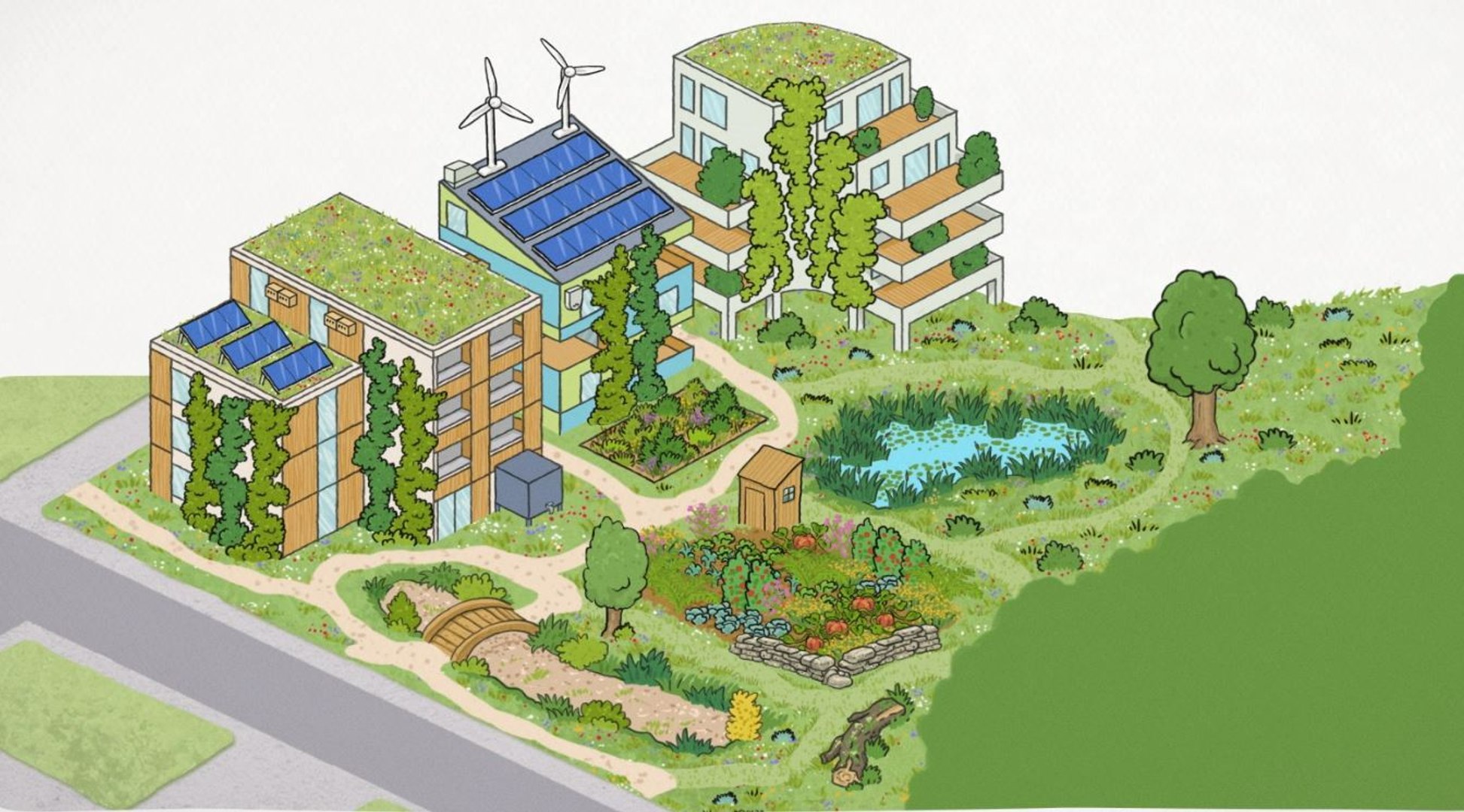
 Planning of project